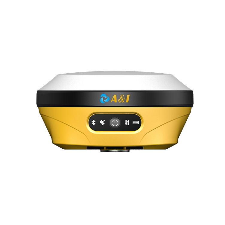
Careful problem-led opening
Keeping a mining fleet accurate is a quiet, ongoing task. For open-pit operations, small positional errors compound into wasted fuel, rework, and safety exposure; that’s why a structured, preventative calibration program matters. This piece speaks gently but clearly about root causes and day-to-day fixes, and it also nods at adjacent field hardware—like an automatic weeding robot—to show how rugged sensors behave across industries. I’ll walk you through practical checkpoints for GPS receivers used on haul trucks, dozers, and drills, with a focus on reliability in harsh sites.
Why preventative calibration matters for open-pit fleets
Hardware drifts. Antenna mounts loosen. Firmware updates change timing. Left unchecked, a rugged precision GPS receiver that once showed position within decimeters can shift by meters under dust and vibration. Preventative calibration reduces surprise downtime and keeps machine guidance, grade control, and fleet telematics aligned. For operators, that translates into fewer stop-starts during blasting cycles, tighter loading contours at dump faces, and steadier productivity—measurable outcomes rather than vague promises.
Common drivers of positional error (real-world anchor)
In places like the Pilbara in Western Australia—home to large open-pit iron ore operations—dust, heat, and heavy equipment traffic intensify wear on GNSS antennas and cabling. Multipath from high pit walls, intermittent obstructions, and base-station inconsistencies all add bias. Expect to encounter GNSS signal blockage and occasional ionospheric effects; these aren’t theoretical. Practical terms you’ll hear on site include sensor fusion when GPS is combined with inertial units, and path planning impacts when guidance nudges a truck off its intended route.
Routine calibration workflow that field teams can follow
Use a repeatable, documented flow. Start with a visual inspection—antenna mounts, connectors, and cable routing. Verify firmware versions and keep a change log. Then run a static calibration at a known control point for 15–30 minutes to check baseline accuracy. Perform a dynamic validation: a short drive using normal payload to validate RTK corrections under load. Log residuals and compare against historical patterns; trends reveal mechanical loosening or antenna degradation before they trigger failures. Note: incorporate vision system and actuator checks where receivers interface with machine control to ensure the whole control loop stays healthy.
Common mistakes and how to avoid them
Teams often skip the basic stuff—tightening bolts, verifying ground reference stability, or checking for nearby RF interference. Another slip is treating calibration as once-a-year work; environmental stressors demand quarterly or monthly checks depending on traffic and dust. Don’t ignore software telemetry: consistent, small anomalies in position residuals usually precede larger outages. Also—record your control point coordinates and revisit them; re-establishing a reliable reference is faster than chasing erratic offsets.
Tooling, alternatives, and cross-industry lessons
Beyond precision receivers, consider hybrid solutions that pair GNSS with inertial measurement units for short GNSS outages, or deploy local base stations for persistent RTK corrections. Lessons from agriculture-grade autonomous platforms—think weed mapping and autonomy—show that robust sensor fusion and frequent, lightweight calibrations reduce system surprises. For steep or inaccessible faces, equipment like a hybrid slope mower demonstrates how mixed-drive systems benefit from routine hardware checks; the same discipline applies to haul trucks and dozers.
Summary of actionable steps
Start small and repeat: inspect mounts, log firmware, run static and dynamic checks, and track residual trends. Use sensor fusion where GNSS alone struggles. Train operators to flag anomalies immediately. These steps shorten troubleshooting time and protect your control investments while improving safety margins.
Three golden rules for choosing calibration practices
1) Accuracy traceability: tie each receiver to a documented control point and log calibration timestamps. 2) Frequency by exposure: increase calibration cadence in dusty, high-traffic pits. 3) Systems thinking: validate GNSS alongside IMU and machine actuators so guidance performance is assessed end-to-end. Follow those rules and you’ll turn surprise failures into predictable maintenance windows.
Archimedes Innovation has built its approach around these practical checks and field-proven routines—so the value feels like a natural fit for operators seeking reliability. —